
Single-source·Aug 26, 2026·1 sources analyzed
Satellite Images Reveal Texas Ross Fire Affects 80,000 Acres
Satellite imagery has documented the extent of the Ross fire in Texas, which has burned approximately 80,000 acres. The situation is being monitored by relevant authorities. (sources: newsweek.com)
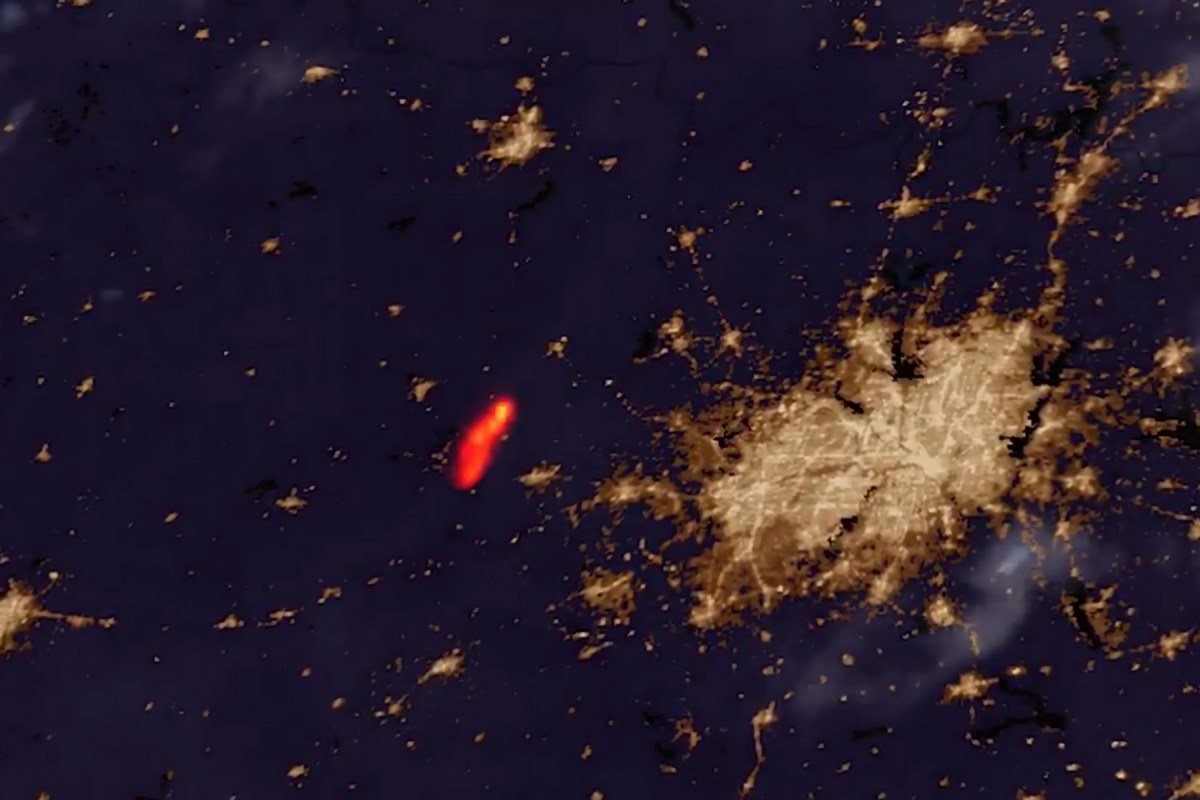
Image: newsweek.com
Modern Action Briefing
The Ross fire in Texas has expanded to cover around 80,000 acres, as shown by satellite images. Authorities are assessing the impact and ongoing developments.
- Satellite images indicate the Ross fire has burned 80,000 acres.
- The fire is located in Texas.
- Relevant authorities are monitoring the situation.
Why it matters
Understanding the scale of the fire is important for assessing environmental and safety impacts.
Connected public decisions
Follow the issue pages where this story connects to public action.
Contact officials
Act on Wildfire response, forest risk reduction, and firefighter capacity
See the current decision, choose your position, and send a message through the issue page.
Take action on Wildfire response, forest risk reduction, and firefighter capacity